Local Rides & Info
Our Favorite Routes
New to the area and looking for some of the most popular riding in Florida? We have you covered.
Below are some of our local favorites that are sure to put a huge smile on your face.
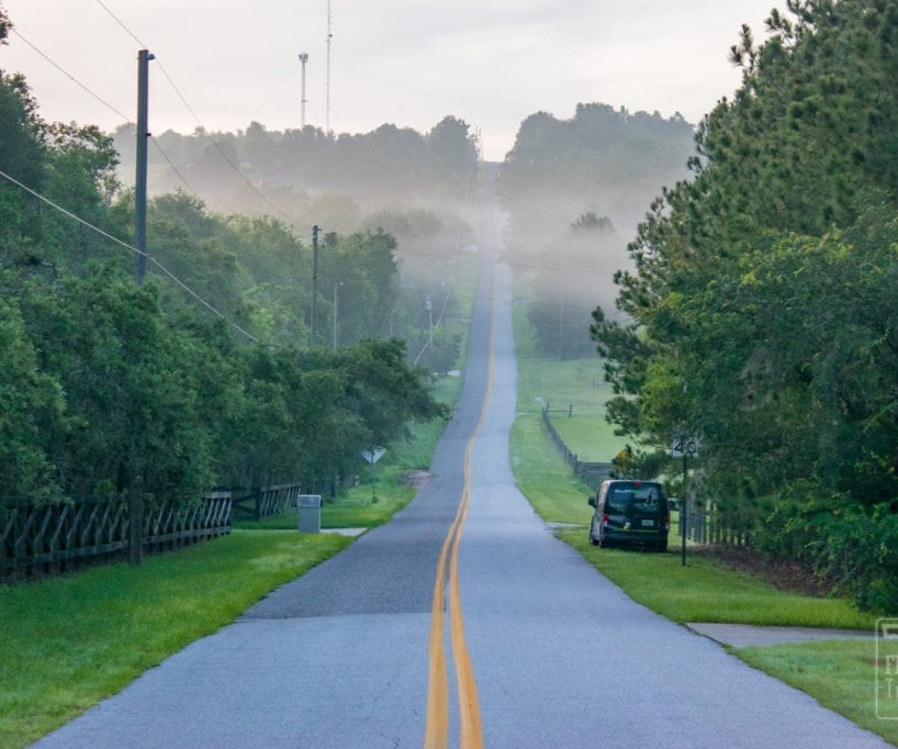
Sugarloaf Mountain - Short
The tallest mountain in Florida would barely count as a molehill in many other states. But as the highest point on the peninsula, Sugarloaf Mountain offers a rare, scenic view of the surrounding landscape. Once you reach the top you might forget that you’re in Florida!

Yalaha Bakery Ride
Bring your legs and your debit card for this one. Yalaha Bakery is a staple in our cycling community. As the midway point of this ride be sure to stop in and enjoy a hot cup of coffee, a German pastry, or any of the other wonderful treats they serve.
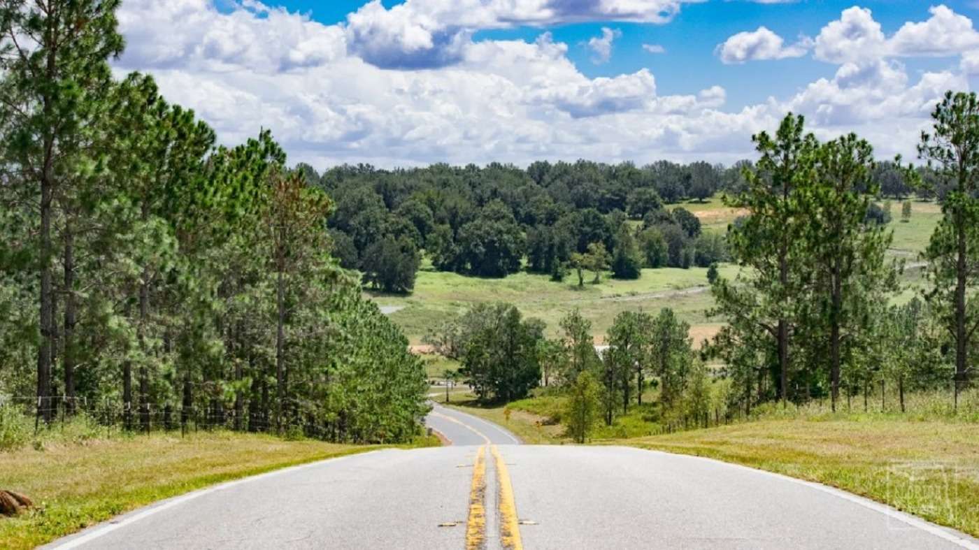
The Figure 8
Incorporating all of the hilliest sections of Sugarloaf Mountain, Buckhill Road, the Scenic Byway, and others in this challenging hill loop.
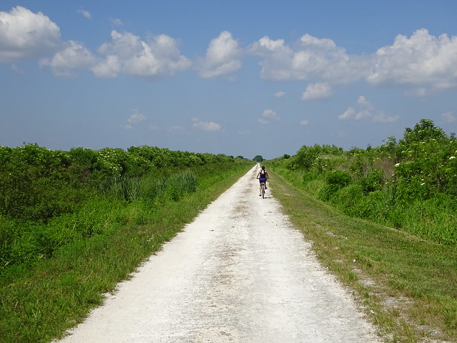
Lake Apopka Pump House Loop - Gravel
This 22-mile ride encompasses some of the best panoramas of Lake Apopka including its reptile inhabitants. You're sure to see more gators than you can count on this gravel ride. The historic pump house marks your half-way turnaround.
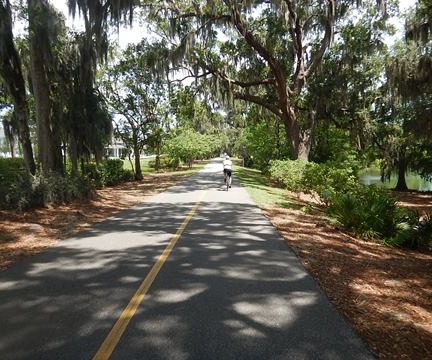
Clermont to Winter Garden - West Orange Trail
Leisurely ride on the Clermont Scenic and West Orange Trail. Start at Waterfront Park in beautiful downtown Clermont and ride your way east to Winter Garden. Make it a round trip for a 26 mile ride with a stop in Winter Garden for a cup of coffee or pastry an any of the local shops
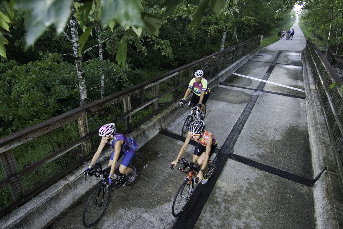
Van Fleet Trail
The General James A. Van Fleet State Trail is officially designated as part of Florida's Statewide System of Greenways and Trails and is one of Florida's most rural, paved rail-trails. Also designated as a National Recreation Trail®, the Van Fleet State Trail runs through the Green Swamp, the headwaters for some of Florida's most popular paddling destinations including the Withlacoochee, Hillsborough and Peace rivers. Landscapes include the river swamp, bottomland forest, pine flatwoods, former citrus lands and cattle ranches. With only one curve in its 29.2 miles, you can choose to go slow and view the wildlife or enjoy it at a brisk pace. An equestrian trail parallels the length of the paved path. The trail has excellent wildlife viewing opportunities, especially between Green Pond Road and Bay Lake Road.